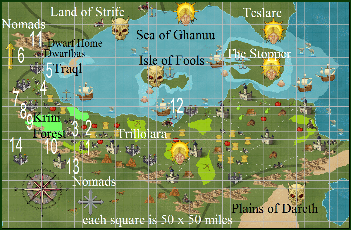
Sea of Ghanuu Links
Part of the Southern Hemisphere.
The lands that border it are: Trillolara, Land of Strife, Teslarc, Tanoria, Nomads, and the Inner Ocean.
There are three large islands: The Stopper, Isle of Fools, and Traql.
Legend has it that The Stopper can grow in size and block fleets, or even small ships, from entering this Sea.
No one seems to know that Traql is there.
The Barrier Hills separate part of Trillolara from The Plains of Dareth and part of the Nomads area.
The map is about 2100 miles wide x about 1400 miles high.
The ocean area lower left is a mistake I’ll correct in later versions.
The mountains, hills, and mesas are over-scaled. They do act as a barrier, and there are few passes across them.
The large areas around the island maps were once land bridges.
Update: New map on Nov 4, 2014. Updated it again, same day.
Updated again on Nov 5, 2014.